Autonomous Systems
Drone Operations
Autonomous flight, aerial data and the pipelines that make it useful.
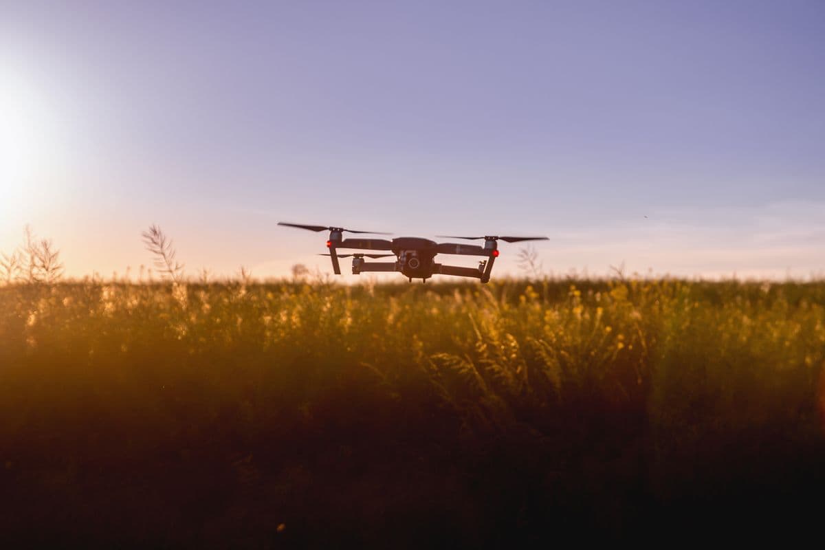
We build and fly autonomous drone systems — and, just as importantly, turn the footage they capture into data you can actually act on.
From mapping and surveying to inspection and custom payloads, we handle flight planning, autonomy and the processing pipeline that converts raw aerial captures into maps, models and reports.
What's included
- ✓Autonomous and waypoint flight
- ✓Aerial mapping, surveying and 3D models
- ✓Flight planning and mission software
- ✓Custom payload integration
- ✓Photogrammetry and data processing
- ✓Inspection and reporting workflows
How we work
A way of working that holds up.
Fly with intent
Every mission is planned around the data you need, so a single flight captures exactly what the downstream pipeline expects.
Turn pixels into answers
Raw footage isn't the deliverable. We build the pipeline that produces orthomosaics, 3D models and the metrics you act on.
Operate responsibly
We plan around airspace rules and site permissions, and build operations that are safe, logged and repeatable.
Questions
Drone Operations, explained.
What can drone surveys deliver?
High-resolution maps, orthomosaics, elevation models, 3D site reconstructions and inspection reports — far faster and cheaper than ground methods.
Do you handle regulations?
We plan operations in line with applicable aviation rules, including India's DGCA framework for unmanned aircraft, and coordinate the permissions a site needs.
Let's build your drone operations.
We take on a small number of teams at a time. Tell us what you're trying to build — we usually reply within a day.
Related services